How Satellites Are Helping Farmers Adapt to Climate Crisis August 25, 2023 By Paul Tullis When to harvest is one of the most crucial decisions a winemaker can make. Too early, and the result is...
3,000 Buildings Affected by California Flooding in March: ICEYE March 22, 2023 By Don Jergler An analysis released on Wednesday shows 2,933 properties were impacted by the early March flooding across California, with an average...
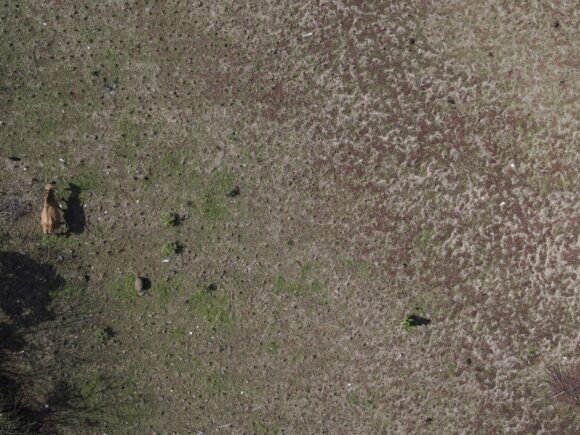
Company’s Aerial Photos, Data Helps Farmers Manage Fields November 15, 2021 By Susan Orr INDIANAPOLIS (AP) — Indianapolis-based IntelinAir Inc. sees a big business opportunity in the use of artificial intelligence and machine learning...
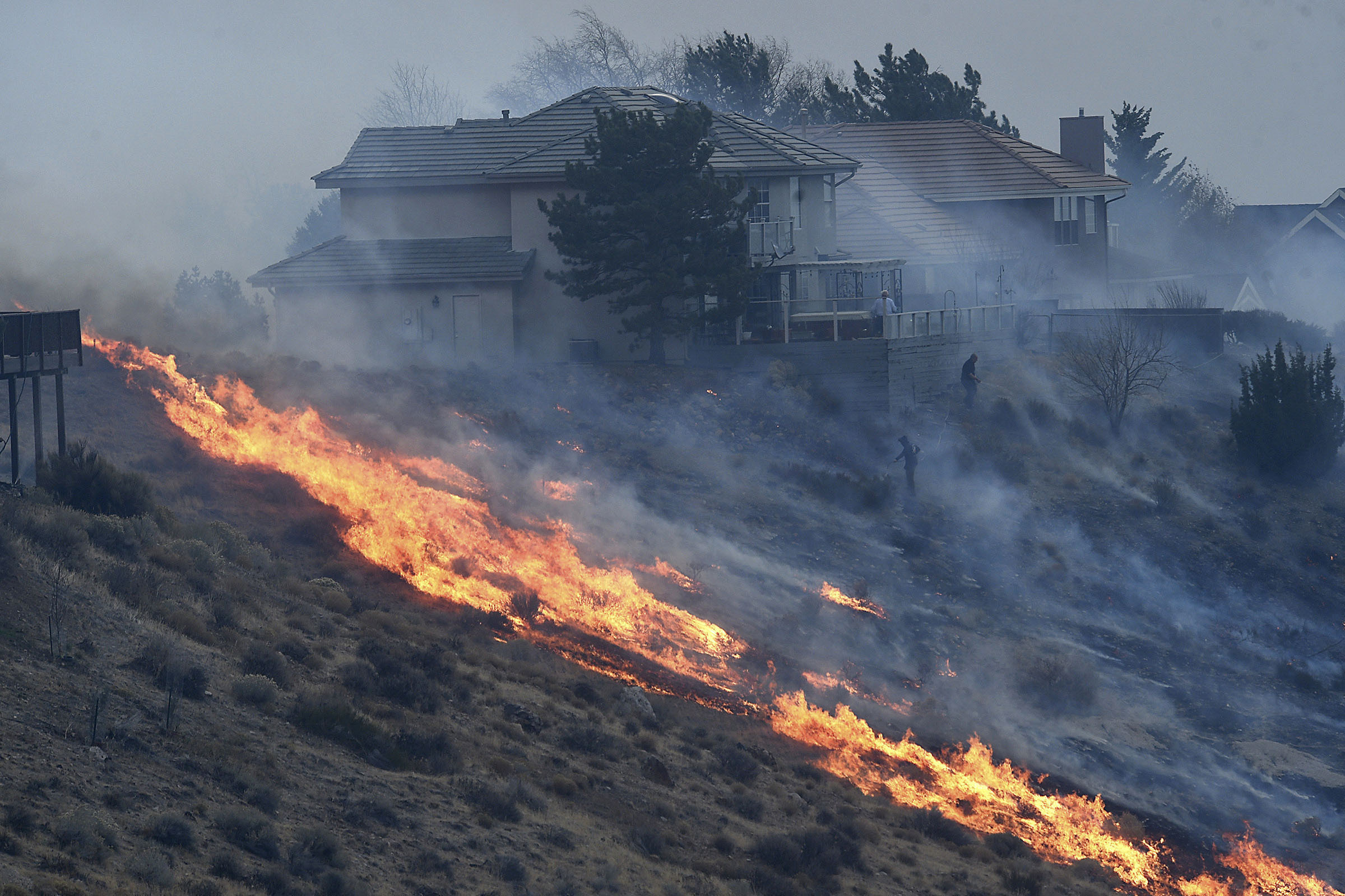
Fire Official: Arcing Power Lines Caused Big Reno Brush Fire January 21, 2021 By Scott Sonner RENO, Nev. (AP) — Satellite imagery and surveillance video from a casino roof 5 miles (8 kilometers) away helped pinpoint...
Investors Gauge Future Climate Risks With Satellite Imaging October 23, 2020 By Alastair Marsh The world was watching end-of-days scenes: Firefighters in yellow jackets, blurry against a copper sky, battled to push back walls...