The Atlantic spun it 10th storm faster than any other hurricane season in records going back to 1851, and more are expected as August ends.
Tropical Storm Josephine formed east of the Leewards, the arc of islands that separates the Caribbean from the Atlantic, the National Hurricane Center said. The storm, which will likely be short lived and won’t menace the U.S., has top winds of 45 miles (72 kilometers) per hour and was forecast to drift north of Puerto Rico by next week.
“It represents a non-event to both the Gulf of Mexico and the East Coast,” said Jim Rouiller, lead meteorologist at Energy Weather Group LLC.
The previous record for the 10th storm was in 2005, which is when an all-time high of 28 storms formed in the Atlantic, including Katrina that devastated New Orleans, according to Phil Klotzbach, a researcher at Colorado State University. Last week, Colorado State and the National Oceanic and Atmospheric Administration adjusted their seasonal forecast calling for as many as 24 and 25 storms respectively. If either outlook materializes, this will be the second-most active hurricane season in the Atlantic on record.
Typically, the most active part of hurricane season begins about August 20 and continues through September. Storms that form in this period usually get their start in the deep Atlantic between Cabo Verde off Africa’s coast and the Caribbean, which meteorologists call the main development region. Most of history’s deadliest storms got their start in this area.
While most storms this year have been weak, five have already hit the U.S., including Hurricane Isaias that left more than 2 million businesses and homes without power across New York and the Northeast when it struck last week. In June, Tropical Storm Cristobal forced the evacuation of Gulf of Mexico energy platforms and temporarily shut down about one-third of offshore oil and natural gas production.
There has been an uptick of storms in the eastern Pacific due in part to a larger pattern called the Madden-Julian Oscillation, a wave of unsettled weather that ripples across the globe, Rouiller said. That will start to influence the Atlantic later next week and it could mean trouble.
“There could be a pretty solid uptick in hurricane activity in the main development region and the Caribbean as we get into the final ten days of August,” Rouiller said.
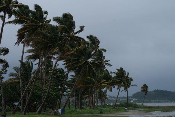
About the photo: Palm trees sway in the wind ahead of Tropical Storm Karen in the Punta Santiago barrio of Humacao, Puerto Rico, on Tuesday, Sept. 24, 2019. Photographer: Gabriella N. Baez/Bloomberg
Was this article valuable?
Here are more articles you may enjoy.
 Software Firm CCC Intelligent Solutions Exploring Sale: Reuters
  Citadel Securities Asks to Join Susquehanna Insider-Trading Suit
  Clash of Florida Titans Pits Powerful Tribe Against Homebuilder Lennar
  What Home Age Actually Tells Us About Claims — And What It Doesn’t
Want to stay up to date?
Get the latest insurance news
sent straight to your inbox.