Liberty Mutual Insurance and space intelligence firm ICEYE have partnered to launch a parametric wildfire insurance coverage that works with...
satellite imagery News
When to harvest is one of the most crucial decisions a winemaker can make. Too early, and the result is...
An analysis released on Wednesday shows 2,933 properties were impacted by the early March flooding across California, with an average...
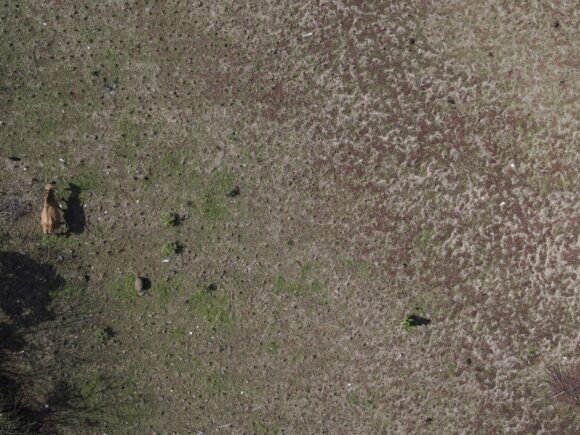
INDIANAPOLIS (AP) — Indianapolis-based IntelinAir Inc. sees a big business opportunity in the use of artificial intelligence and machine learning...
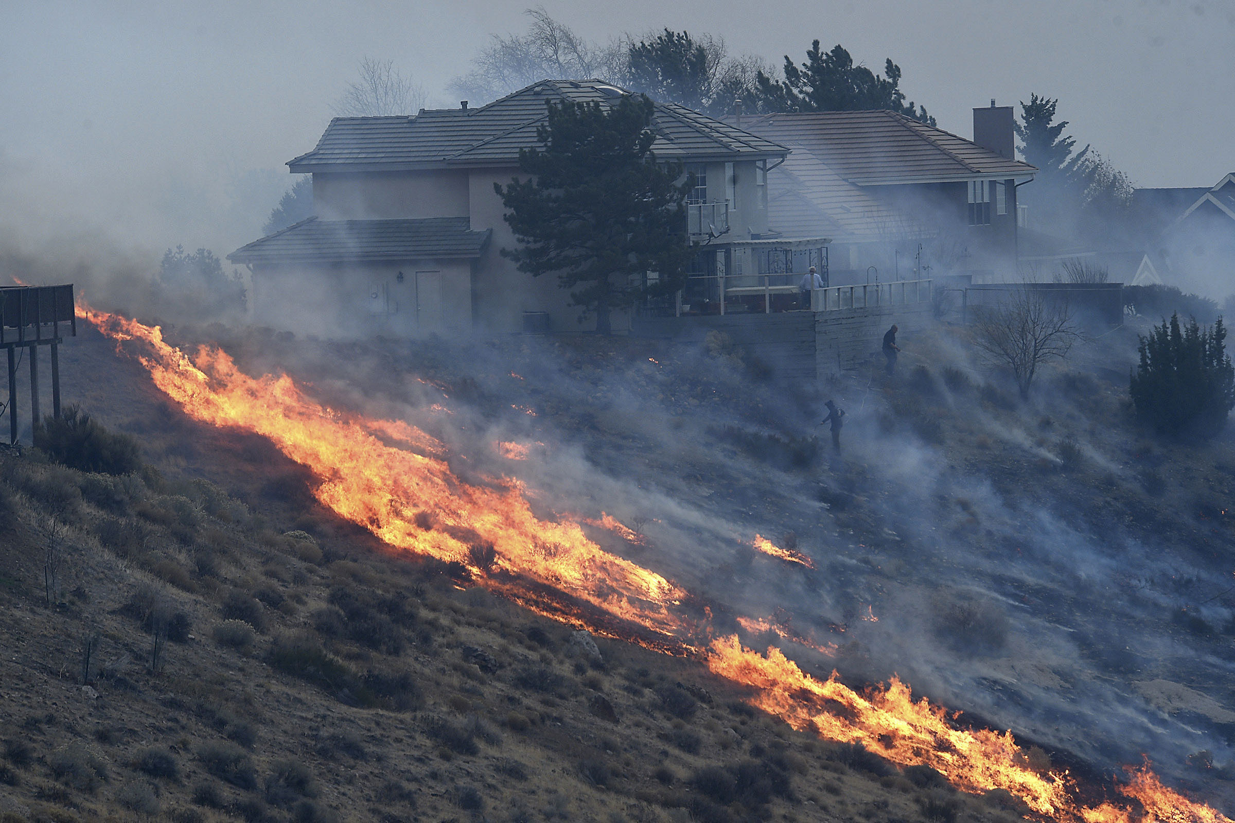
RENO, Nev. (AP) — Satellite imagery and surveillance video from a casino roof 5 miles (8 kilometers) away helped pinpoint...
The world was watching end-of-days scenes: Firefighters in yellow jackets, blurry against a copper sky, battled to push back walls...