The weather-roiling La Niña weather pattern has ended, returning equatorial Pacific temperatures to a neutral state that could portend an active Atlantic hurricane season.
Now that La Niña — a cooling of Pacific temperatures near the equator — is officially over, the ocean’s surface is forecast to remain in a neutral condition through June, July, August and beyond, the U.S. Climate Prediction Center said.
While a neutral state doesn’t have much impact on weather during the Northern Hemisphere’s summer months, it can be a signal that the Atlantic hurricane season will be busy. Currently there is a 43% chance the Pacific remains neutral from November through January and a 38% chance La Niña will return. Chances for El Niño, a warming of the Pacific, are under 20%.
Related: An Unusually Active Hurricane Season Is in Store for the Atlantic
The absence of El Niño, which can cause storm-wrecking wind conditions across the Atlantic, means more hurricanes and tropical storms may develop and grow in the Atlantic and Caribbean regions, including oil- and gas-producing areas along the US Gulf Coast. The forecast accuracy for the cycle is lowest in March, April and May, so there is an element of uncertainty, the agency said in its monthly forecast.
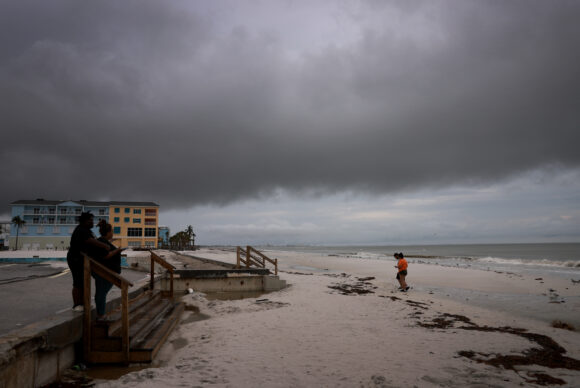
Top photo: People visit the beach before Hurricane Milton’s arrival in Fort Myers, Florida, on Oct. 8. (Joe Raedle/Getty Images)
Was this article valuable?
Here are more articles you may enjoy.
 Snap Nears Settlement of Addiction Case Ahead of Jury Trial
  New EVs From Toyota, Subaru Breathe Life into Struggling Market
  Scientists Affirm Climate Change Fuels Extreme Weather
  Texas Floods, Canada Smoke and Western Heat Batter US
Want to stay up to date?
Get the latest insurance news
sent straight to your inbox.