Days after thousands of people were allowed to return to their homes near Lake Oroville, Calif., more than 50,000 homes remain at risk of flood damage, according to analysis released last week by CoreLogic.
If all of the homes located within six counties that surround the Oroville Dam were to sustain flood damage, the analytics provider estimates the reconstruction would cost $13.3 billion.
According to CoreLogic’s analysis, only 12 percent of the homes at risk are located in a Special Flood Hazard Area designated by the Federal Emergency Management Agency.
Figure 1: Total Homes at Risk and Reconstruction Cost Value by County
| County | Number of Homes | Estimated RCV |
| Butte | 15,750 | $3,368,371,427 |
| Colusa | 2,344 | $633,516,296 |
| Glenn | 42 | $8,202,197 |
| Sutter | 25,504 | $7,604,338,675 |
| Yolo | 262 | $64,058,854 |
| Yuba | 6,145 | $1,584,443,943 |
| TOTAL | 50,047 | $13,262,931,392 |
Figure 2: Total Homes at Risk and Reconstruction Cost Value by City and ZIP Code
| City | Zip | Number of Homes | Estimated RCV |
| Yuba City | 95993 | 10,384 | $3,444,062,491 |
| Yuba City | 95991 | 10,293 | $2,901,591,425 |
| Oroville | 95965 | 6,867 | $1,387,826,184 |
| Oroville | 95966 | 4,528 | $912,344,538 |
| Marysville | 95901 | 5,237 | $1,369,704,343 |
| Gridley | 95948 | 3,122 | $810,017,464 |
| Live Oak | 95953 | 2,950 | $768,036,402 |
| Colusa | 95932 | 2,052 | $577,478,166 |
| Sutter | 95982 | 1,143 | $314,284,022 |
| Biggs | 95917 | 990 | $231,498,912 |
| TOTAL | 47,566 | $12,716,843,947 |
The majority of homes at risk are between 20 and 60 miles from the dam, totaling 33,967 properties with an estimated RCV of $9.8 billion. Additionally, there are 16,080 homes at risk of damage less than 20 miles from the dam with an estimated RCV of $3.5 billion.
Possible Factors in California Dam Crisis
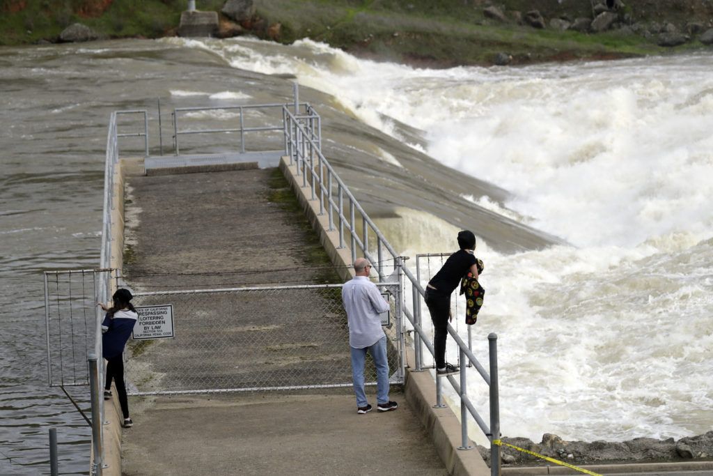
Lake Oroville is roughly 75 miles north of Sacramento and 25 miles southeast of Chico, Calif. The dam is the tallest in the United States. Thousands near the lake were evacuated after engineers noticed a crevice in the spillway.
The Oroville Dam crisis in California demonstrates the crucial need for infrastructural updates and the importance of dam maintenance, especially spillways, according to Baldwin Wallace University geology professor Carrie Davis Todd, Ph.D. Her past research includes looking into the historic Johnstown, Pa., Flood of 1889, which involved spillway issues that caused the catastrophic collapse of the South Fork Dam. Dr. Todd, who has also conducted research in the area of precipitation change relating to climate change, which may be a contributing factor for the record reservoir levels seen in Lake Oroville.

According to CSU Channel Islands Professor Sean Anderson, Ph.D., who specializes in environmental science and resource management, the Oroville Dam crisis is absolutely linked to climate change.
Dr. J. David Rogers, an expert on the impact of natural disasters, and the Karl F. Hasselmann Missouri Chair of Geological Engineering at Missouri University of Science and Technology in Rolla, Mo., is an expert on identifying and evaluating natural perils, including flooding problems, dam and spillway structures and rock slope stability phenomena. Rogers suspects the issues with the Oroville Dam spillway has to do with how well the spillway’s concrete floor was attached to its foundation.
“When you build something 3,000 feet long, you have to think about cumulative shrinkage of the concrete, and if the structure is founded on a sloping ground, you need to employ some sort of structural system to resist gradual downslope creep,” he said.
Was this article valuable?
Here are more articles you may enjoy.
 Credit Suisse Nazi Probe Reveals Fresh SS Ties, Senator Says
  FM Using AI to Elevate Claims to Deliver More Than Just Cost Savings
  Founder of Auto Parts Maker Charged With Fraud That Wiped Out Billions
  These Five Technologies Increase The Risk of Cyber Claims
Want to stay up to date?
Get the latest insurance news
sent straight to your inbox.