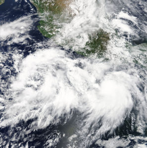
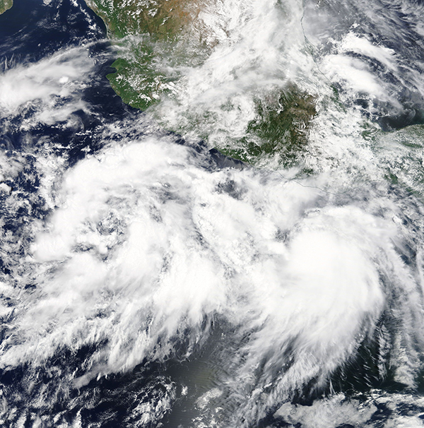
Hurricane John is moving off Mexico’s western coast, having absorbed Tropical Storm Ileana, and is expected to stir up heavy surf and drop rain on the southern portions of the Baja California peninsula while keeping away from landfall.

Another tropical storm was farther out in the Pacific and a subtropical storm formed in the northern Atlantic, though neither posed a threat to land.
The U.S. National Hurricane Center said John had maximum sustained winds of 105 mph (165 kph) late Tuesday but was no longer expected to grow into a major hurricane as it moved northwestward parallel to Baja California before veering off into the Pacific late in the week.
It was centered about 265 miles (430 kilometers) south-southwest of the southern tip of the Baja and was moving to the northwest at 10 mph (17 kph) on a track projected to stay out at sea.
Farther out in the Pacific, Tropical Storm Kristy had sustained winds of 50 mph (85 kph) and was moving west-northwest at 8 mph (13 kph). It was centered about 1,315 miles (2,115 kilometers) west-southwest of the southern tip of Baja.
The hurricane center said Kristy might strengthen into a hurricane in the next few days but was predicted to begin weakening by Friday.
Meanwhile, Subtropical Storm Debby formed far out over the North Atlantic, but it was expected to be short-lived.
Debby’s maximum sustained winds were near 40 mph (65 kph), and the hurricane center said the storm was expected to dissipate in a few days without threatening land. It was centered about 1,190 miles (1,915 kilometers) west-northwest of the Azores and moving north near 13 mph (20 kph).
Was this article valuable?
Here are more articles you may enjoy.


 Supreme Court Allows More Transport Workers to Bypass Arbitration and Sue Employers
  National Crime Report Shows Vehicle Thefts Surged to More than 1 Million in 2023
  Report: Autonomous Vehicle Jobs to Exceed 110k in U.S.
  Viewpoint: Striking Risk-Reward Balance for Shipping Lithium-Ion Batteries