Space Imaging announced the completion of the Florida Fire Risk Assessment project for the Florida Division of Forestry (DOF).
The project involved compiling numerous statewide current and historical datasets, and working with leading fire domain experts
to develop a model which measures wildland fire susceptibility, fire effects and areas of concern.
The purpose of the Florida Fire Risk Assessment was to identify the
potential for serious fires within the State of Florida and prioritize areas where mitigation options may be desirable. The Risk Assessment can also be used to locate areas within the state where interagency planning may be of value to effectively manage wildland fire risk. The results can be used to complete a more detailed analysis at the local level and communicate in a very visual way, wildland fire management issues to the public.
“The Florida Wildland Fire Risk Assessment program will provide Florida
fire managers and community planners with the ability to utilize an in-depth statewide fire risk database that will enhance our total fire management program,” said Mike Long, director of the Florida Division of Forestry.
As a complement to the Risk Assessment, Space Imaging also developed an ArcView application for the DOF, which allows its staff, as well as other Florida fire specialists, to access and use the results of the project.
The application displays the existing wildland fire risk situation to state managers, officials and legislators. The application also offers advanced modeling capabilities that allow DOF staff to modify key inputs, such as fuel models and fire occurrence, that incorporates local knowledge and reflects local situation, which they can then derive custom outputs for a Wildland Fire Susceptibility Index (WFSI) and a Levels of Concern (LOC) map. The flexibility of the ArcView application allows fire planners to simulate future fire scenarios, including fuels treatments, evaluate decisions and monitor mitigation programs and priorities over time.
“With the completion of this project, the State of Florida has one of the most advanced fire management tools in the country,” said Dr. Jim Smith, fire management domain manager for Space Imaging. “Fire and forestry professionals, local planners and the public will be better prepared for devastating fire seasons, such as in 1998, and will be able to lessen the impact of these disasters.”
The project is based on Space Imaging’s Wildland Fire Risk Assessment System, or WFRAS, which is a wildland fire risk assessment methodology that employs both GIS and remote sensing technologies. It is a defined and scalable process for describing fuels and analyzing wildland fire risk in many environments, including wildlands, urban interface and strictly urban regions.
The wildland fuels are mapped using 30-meter Landsat satellite imagery as a baseline. High-resolution multi-spectral imagery from Space Imaging’s IKONOS satellite can be used to map the urban interface sector at four-meter resolution, with the urban fuels region mapped at one-meter resolution or less.
To develop the system, Space Imaging worked with leading fire subject matter experts to incorporate the best wildland fire science available for fire protection planning.
Was this article valuable?
Here are more articles you may enjoy.
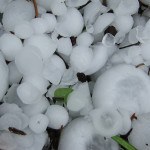 Report Using Aerial Imagery Keys in on Hailstorm Risks to Colorado Homes
  Viewpoint: The Impact of Behavioral Health on Workers’ Comp
 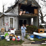 Gallagher: Global Insured Natural Disaster Claims Again Dominated by Severe U.S. Storms
 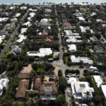 Florida’s Home Insurance Industry May Be Worse Than Anyone Realizes
Want to stay up to date?
Get the latest insurance news
sent straight to your inbox.